Research in Geography & the Environment
Our professors have diverse research interests within the areas of environmental processes and change, urban planning and transportation, human-environment interactions and geographic information science.
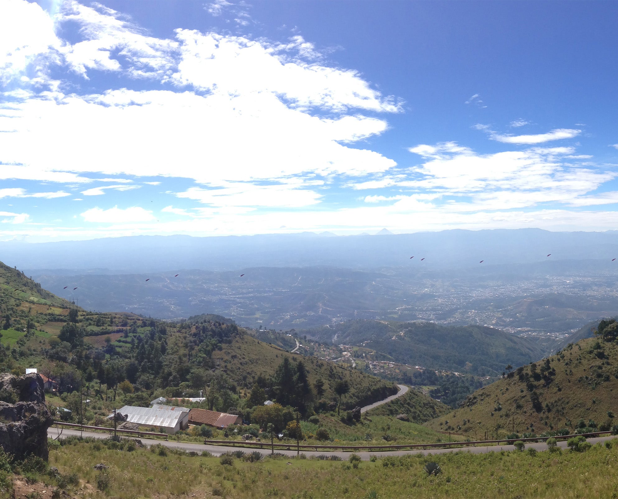
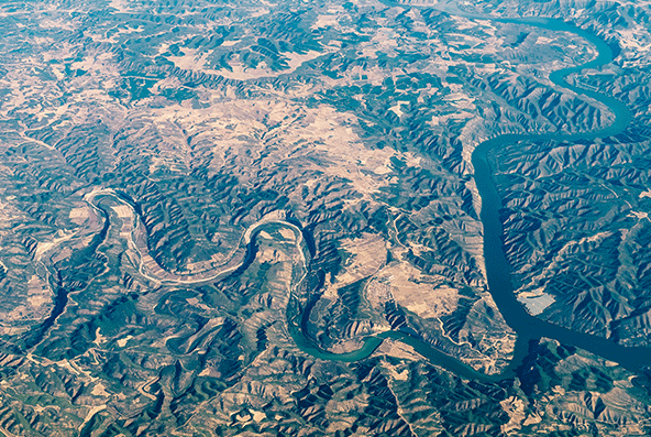
From Denver, we are able to study the local and regional effects of climate change on our water supply, the destructive impact of the mountain pine beetle and the planning and development of our transit systems. Zooming out, we seek to make a global impact with projects that increase understanding of environmental change, migration and geopolitics and the impact of these factors on communities in Africa and Central America.
Research Areas and Initiatives
Environmental Processes & Change
Lorem ipsum dolor sit amet, consectetur adipiscing elit. Quisque vulputate, neque vitae condimentum finibus, neque elit laoreet sapien, ut porttitor lacus ligula et nibh. Aenean pretium diam fringilla molestie imperdiet. Praesent tellus arcu, malesuada quis commodo ut, feugiat id mauris.
Learn More
Geographic Information Science
Lorem ipsum dolor sit amet, consectetur adipiscing elit. Quisque vulputate, neque vitae condimentum finibus, neque elit laoreet sapien, ut porttitor lacus ligula et nibh. Aenean pretium diam fringilla molestie imperdiet. Praesent tellus arcu, malesuada quis commodo ut.
Learn More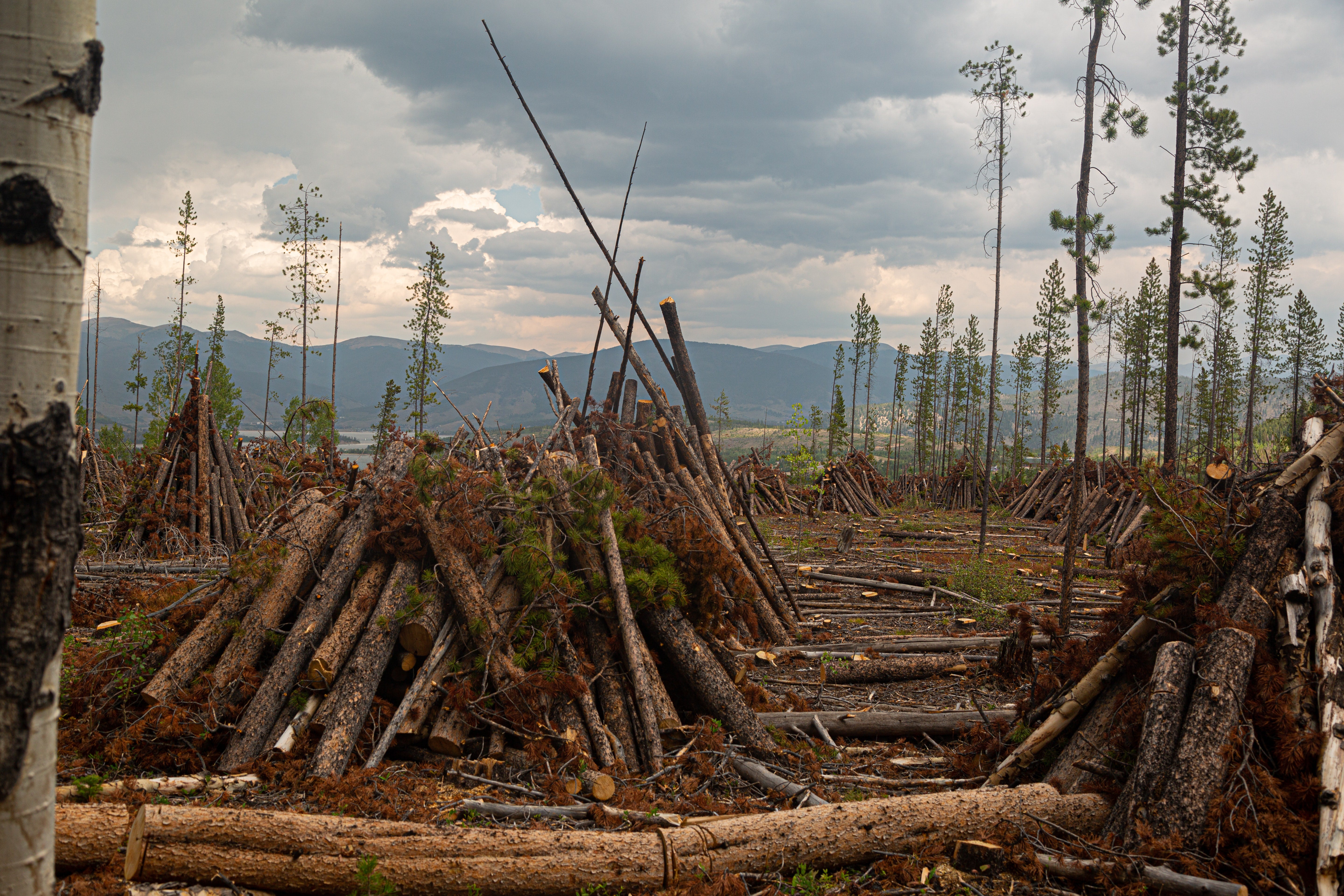
Human-Environment Interaction
Lorem ipsum dolor sit amet, consectetur adipiscing elit. Quisque vulputate, neque vitae condimentum finibus, neque elit laoreet sapien, ut porttitor lacus ligula et nibh. Aenean pretium diam fringilla molestie imperdiet. Praesent tellus arcu, malesuada quis commodo ut, feugiat id mauris.
Learn More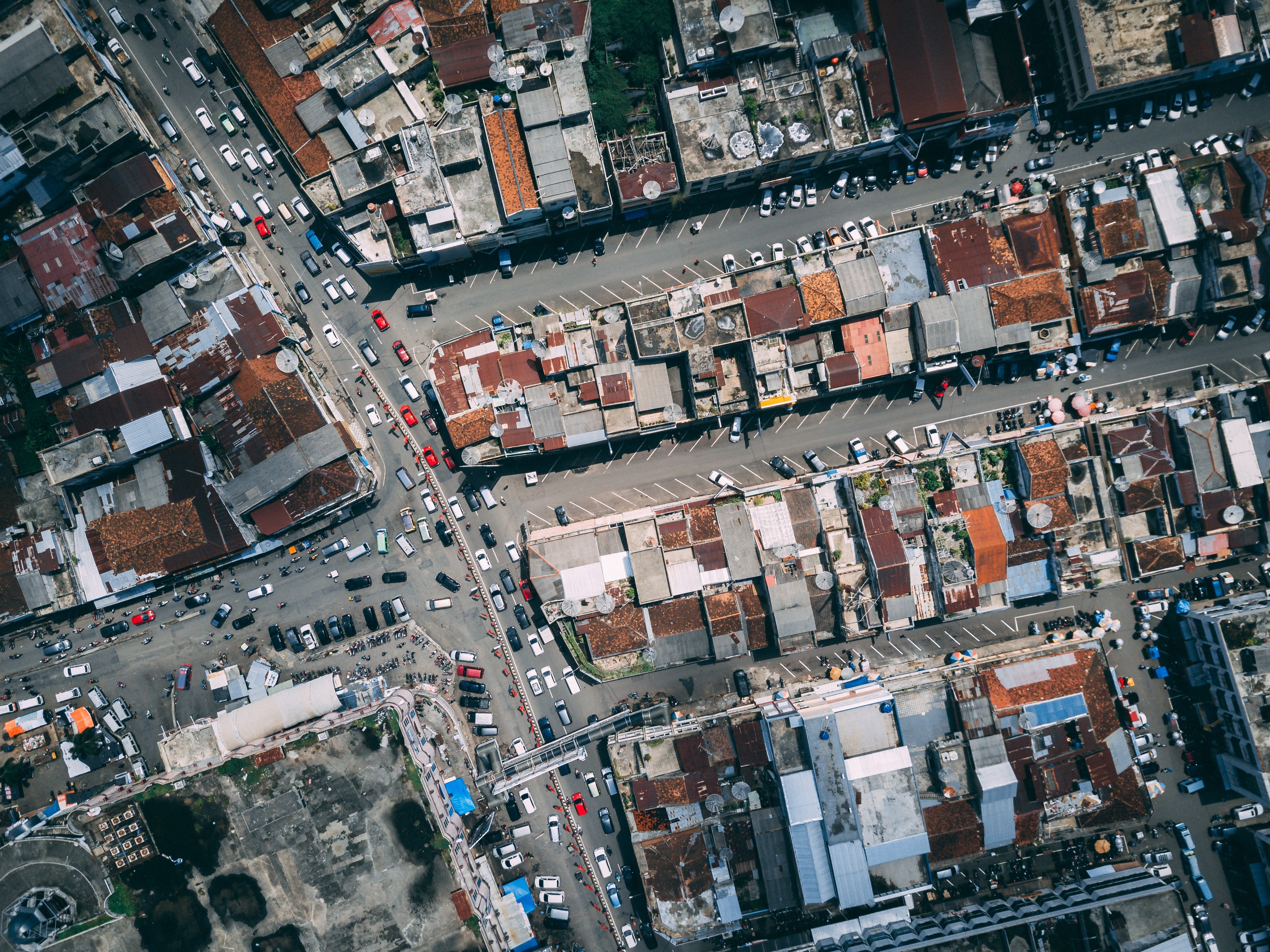
Urban Planning & Transportation
Lorem ipsum dolor sit amet, consectetur adipiscing elit. Quisque vulputate, neque vitae condimentum finibus, neque elit laoreet sapien, ut porttitor lacus ligula et nibh. Aenean pretium diam fringilla molestie imperdiet. Praesent tellus arcu, malesuada quis commodo ut, feugiat id mauris.
Learn More
Faculty Labs and Research Centers
-
David B. Longbrake Geographic Information Technology Laboratories
The David B. Longbrake Geographic Information Technology Laboratories is comprised of a 24 seat instructional computer laboratory, a 16 seat advanced instructional/research computer lab, large-scale commercial grade plotter, large and small format scanners, and a color printer. Both computer labs include the latest versions of geospatial technology software, including ArcMap, ArcGIS Pro, ArcGIS Earth, ERDAS Imagine, Google Earth Pro, R, RStudio, ENVI, JMP Pro, GeoExpress 10, GeoDa, and TNTmips.
Research funded in part by:

-
Geographic Positioning System (GPS) Laboratory
This lab is dedicated to housing an extensive GIS equipment collection. It is also home to the Community Base Station, providing 24-7 location data for differential correction along the Front Range and beyond.
-
Geospatial Visualization Laboratory
The Geospatial Visualization Laboratory is designed to provide high-end computer visualization technology for student and faculty research. The facility includes five high-end computers, three large wall-mounted digital monitors, and an extensive collection of geospatial and analytical software.
-
Mt. Evans Field Station
The Mt. Evans Field Station is owned by the University of Denver and operated under a special-use permit from the Arapaho National Forest of the U.S. Forest Service.
The facility is available year-round for use by academic groups and individual researchers with interests in the geology or ecology of the Colorado Front Range. It is an ideal location for summer research groups, field camps or field courses.
-
Palynology Laboratory
Fully functional wet laboratory with emphasis on pollen analysis of sediment cores.
-
Reuben F. Miller Soils and Sediment Analysis Laboratory
This USDA-approved laboratory performs particle size distribution, organic matter content, CaCO3 percentage, bulk density, pH/eH, and soil-color analysis using laser-diffraction particle size analyzer, sonic sifter, Ro-tap sieve shaker, muffle furnace, drying ovens, incubator, centrifuges, pH/eH meter, spectrophotomoter and balances.
-
Remote Sensing Research Laboratory
Lab technology includes state-of-the-art image-processing software including ERDAS Imagine, ENVI and ESRI GIS software. We also house an Analytical Spectral Devices FieldSpec portable sprectroradiometer to collect solar spectral reflectance, radiance, and irradiance measurements across a wide spectral range.